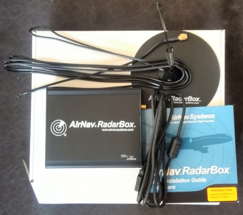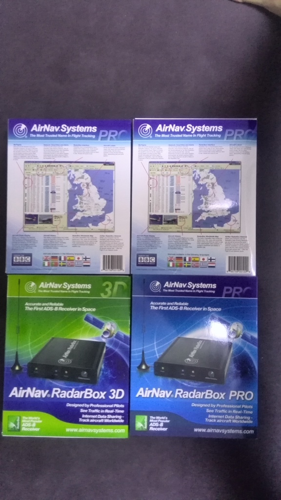
AirNav Radarbox is a "virtual radar" system. The aerial receives Mode-S and ADS-B (Automatic Dependent Surveillance - Broadcast) signals transmitted by aircraft. The signals have an unobstructed range of about 200 miles. The RadarBox decodes them and sends the data via the USB cable to your computer. Software on the computer displays the aircraft's identity, registration, owner etc., and keeps a log of all aircraft received.
Most aircraft transmit a Flight ID and this is used to display the airline's logo and its route. Where the aircraft also transmits ADS-B signals, RadarBox displays their exact position on the map.
The aircraft you will see in RadarBox include all larger modern airliners and an increasing number of business aircraft and light planes, along with many military aircraft, police helicopters, etc. However, of these, it's generally the large airliners and bizjets that broadcast ADS-B, and so appear on the map.
When you buy RadarBox you get the box itself, plus an indoor aerial and the USB cable to connect the box to your computer. That combination will keep you going for ever. Automatic downloads of the aircraft photos and data are also free for life. If you want to expand the capabilities of the basic setup, there are several combinations of software and subscriptions available.
The network allows RadarBox users around the world to share the aircraft they receive with other users. Only data from aircraft which are transmitting their position is shared. Incoming data is delayed by 5 minutes and updated every 30 seconds. You get a free 1-year subscription to this network when you buy the RadarBox. After the first year, there is an annual subscription.
Alternatively you can subscribe to the real-time network, which costs more, where the data has no delay - you are seeing live info, updated every 20 seconds. This is great to have, and particularly useful if your live view is obstructed and there are other users around you who can fill the gaps.
The normal software works perfectly well without an internet connection, but to download data and photos, and to share with and receive the network, you need an internet connection.
AirNav provide excellent support both by their normal ticketing system, and through the RadarBox Forum, where users, potential users, and the AirNav support and development teams are available and happy to provide help and advice. AirNav have developed the software.
Many enthusiastic users provide updates to the system. An expert team updates the database of aircraft and routes - a huge task that keeps the RadarBox database more up-to-date than any other, probably. Operator logos are also constantly updated, and the resources for airport outlines and aircraft photo-silhouettes are constantly being expanded.

